São Vicente and Ribeira Brava
PR17 Caminho do Pináculo e Folhadal, the only Difficult one
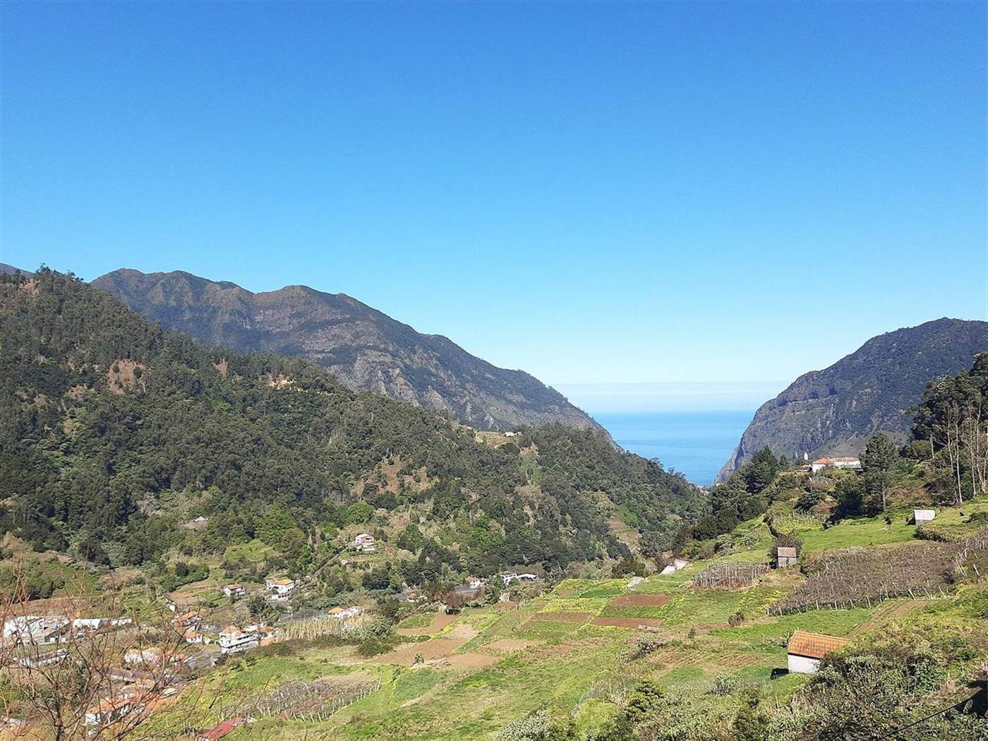
The short answer
PR17 Caminho do Pináculo e Folhadal crosses the high ground between Lombo do Mouro and Encumeada by way of Caramujo and Folhadal. It is the longest route in this set and the only one the tourism board grades Difficult. Tunnels need a torch, and the IFCN register currently lists it as only partly passable.
Trail fee, per person over twelve
€4.50
Booked as a dated timeslot on the SIMplifica portal. Free for ages twelve and under, who still have to be on the booking.
IFCN, 2026 · check it · read August 26, 2026The facts
| Where | São Vicente and Ribeira Brava |
|---|---|
| Type | Walks and levadas |
| How long | 6 hours 30 minutes |
| Difficulty | Difficult |
| Cost | €4.50 |
| Best season | Late spring to early autumn only |
| Permit | Yes — book before you go |
Length and grading
The full route is 15 km, source: Visit Madeira, read August 26, 2026, with 6 hours 30 minutes, source: Visit Madeira, read August 26, 2026 given by the tourism board, staying between 970 m, source: Visit Madeira, read August 26, 2026 and 1,490 m, source: Visit Madeira, read August 26, 2026 for its whole length. It is the only route in this set that the tourism board grades Difficult rather than Moderate.
Tunnels on the Folhadal section are unlit. A torch is part of the kit.
What is actually open
IFCN’s trail register lists PR17 as open and passable between Encumeada, Folhadal, Caramujo and Bica da Cana. That is a description of a partial route, not the full crossing, and it changes.
The wider point matters for anyone planning a traverse: IFCN states that there is currently no east to west crossing of the island available on Classified Walking Routes at all. The fee is €4.50, source: IFCN, 2026, read August 26, 2026 either way, and it is not refunded for a change of plan.
What is not perfect about it
The IFCN register lists it as passable only between Encumeada, Folhadal, Caramujo and Bica da Cana, so the full length may not be walkable on any given date. It is also the only route here graded Difficult, the tunnels need a torch, and the high ground has no bail-out points.
Questions people actually ask
Is PR17 the hardest walk on Madeira?
It is the only route in this set graded Difficult by the tourism board, at 15 km, source: Visit Madeira, read August 26, 2026 and 6 hours 30 minutes, source: Visit Madeira, read August 26, 2026. Grading is per route, so it is the hardest of these rather than of everything on the island.
Is the whole route open?
The IFCN register lists it as passable between Encumeada, Folhadal, Caramujo and Bica da Cana. Statuses change, and the register is the only place they are published.
Can you cross the island on classified trails?
Not at present. IFCN states there is no east to west crossing available on Classified Walking Routes.
Where this came from
- IFCN: Percursos Pedestres Recomendados — registo e estado dos percursos. ifcn.madeira.gov.pt/pt/atividades-de-natureza/percursos-pedes Read August 26, 2026.
- IFCN: Percursos Pedestres Classificados — taxas e reservas (FAQ). ifcn.madeira.gov.pt/pt/atividades-de-natureza/percursos-pedes Read August 26, 2026.
- Visit Madeira: PR17 Caminho do Pináculo e Folhadal. visitmadeira.com/en/what-to-do/nature-seekers/activities/h Read August 26, 2026.