Câmara de Lobos to São Vicente
PR2 Vereda do Urzal, out of the valley and over to the north
The short answer
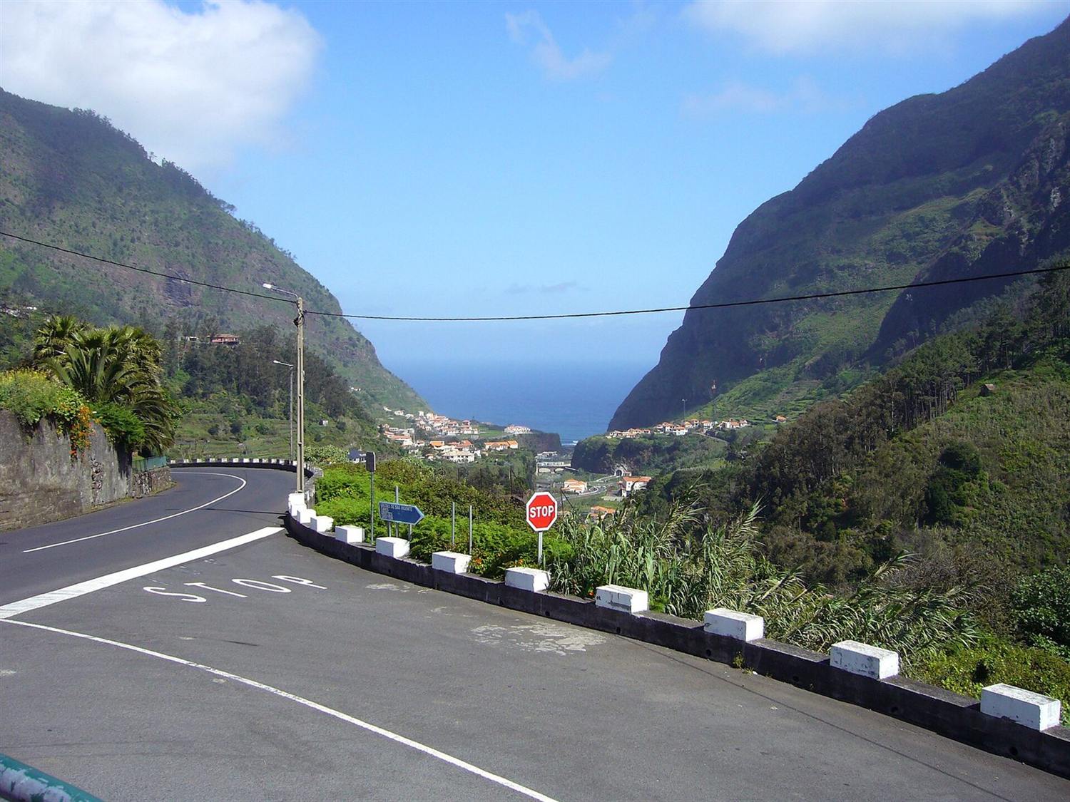
PR2 Vereda do Urzal climbs out of the enclosed valley at Curral das Freiras, crosses high ground and drops to the north coast at Lombo do Urzal. It is a Classified Walking Route needing a fee and a booked timeslot, and it is point to point across the spine of the island.
Trail fee, per person over twelve
€4.50
Booked as a dated timeslot on the SIMplifica portal. Free for ages twelve and under, who still have to be on the booking.
IFCN, 2026 · check it · read August 26, 2026Length, per Visit Madeira
10.6 km
Conflicts slightly with the IFCN register.
Visit Madeira · check it · read August 26, 2026Length, per the IFCN register
10.3 km
Conflicts slightly with the tourism board.
IFCN · check it · read August 26, 20261 more sourced figure on this page
Height gained from the valley floor
931 m
The difference between the published high and low points.
Visit Madeira · check it · read August 26, 2026The facts
| Where | Câmara de Lobos to São Vicente |
|---|---|
| Type | Walks and levadas |
| How long | 4 hours 30 minutes |
| Difficulty | Moderate |
| Cost | €4.50 |
| Best season | Spring and autumn |
| Permit | Yes — book before you go |
The crossing
Visit Madeira gives the route as 10.6 km, source: Visit Madeira, read August 26, 2026 and IFCN’s register gives 10.3 km, source: IFCN, read August 26, 2026; the difference is small and neither has been corrected. The tourism board gives 4 hours 30 minutes, source: Visit Madeira, read August 26, 2026.
It runs from Curral das Freiras at the bottom of its bowl up to 1,450 m, source: Visit Madeira, read August 26, 2026 and down to 519 m, source: Visit Madeira, read August 26, 2026 at Lombo do Urzal, which is a climb of roughly 931 m, source: Visit Madeira, read August 26, 2026 before any of the descent starts.
What it takes to plan
Both ends are road ends on opposite sides of the island. Getting back to the start means a car at each end, a taxi, or a long day of buses across the SIGA network.
The fee is €4.50, source: IFCN, 2026, read August 26, 2026, booked as a dated timeslot on SIMplifica, and forfeited if the plan changes for any reason other than an official closure.
What is not perfect about it
A long climb followed by a long descent, point to point across the island’s spine, which makes transport at both ends a planning problem rather than a detail. The two official sources also publish slightly different lengths for it.
Questions people actually ask
How long is Vereda do Urzal?
The two official sources differ: 10.6 km, source: Visit Madeira, read August 26, 2026 per Visit Madeira and 10.3 km, source: IFCN, read August 26, 2026 per the IFCN register.
How much climbing is involved?
Roughly 931 m, source: Visit Madeira, read August 26, 2026 from the valley floor to the high point, followed by a long descent to the north coast.
Where this came from
- IFCN: Percursos Pedestres Classificados — taxas e reservas (FAQ). ifcn.madeira.gov.pt/pt/atividades-de-natureza/percursos-pedes Read August 26, 2026.
- IFCN: Percursos Pedestres Recomendados — registo e estado dos percursos. ifcn.madeira.gov.pt/pt/atividades-de-natureza/percursos-pedes Read August 26, 2026.
- Visit Madeira: PR2 Vereda do Urzal. visitmadeira.com/en/what-to-do/nature-seekers/activities/h Read August 26, 2026.